1. Tactical Sensors
10 / 20 / 40 km EO‑Thermal units on rugged PTZ towers.

Layered AI analytics • Offline GIS • Solar‑ready • 10 – 40 km coverage
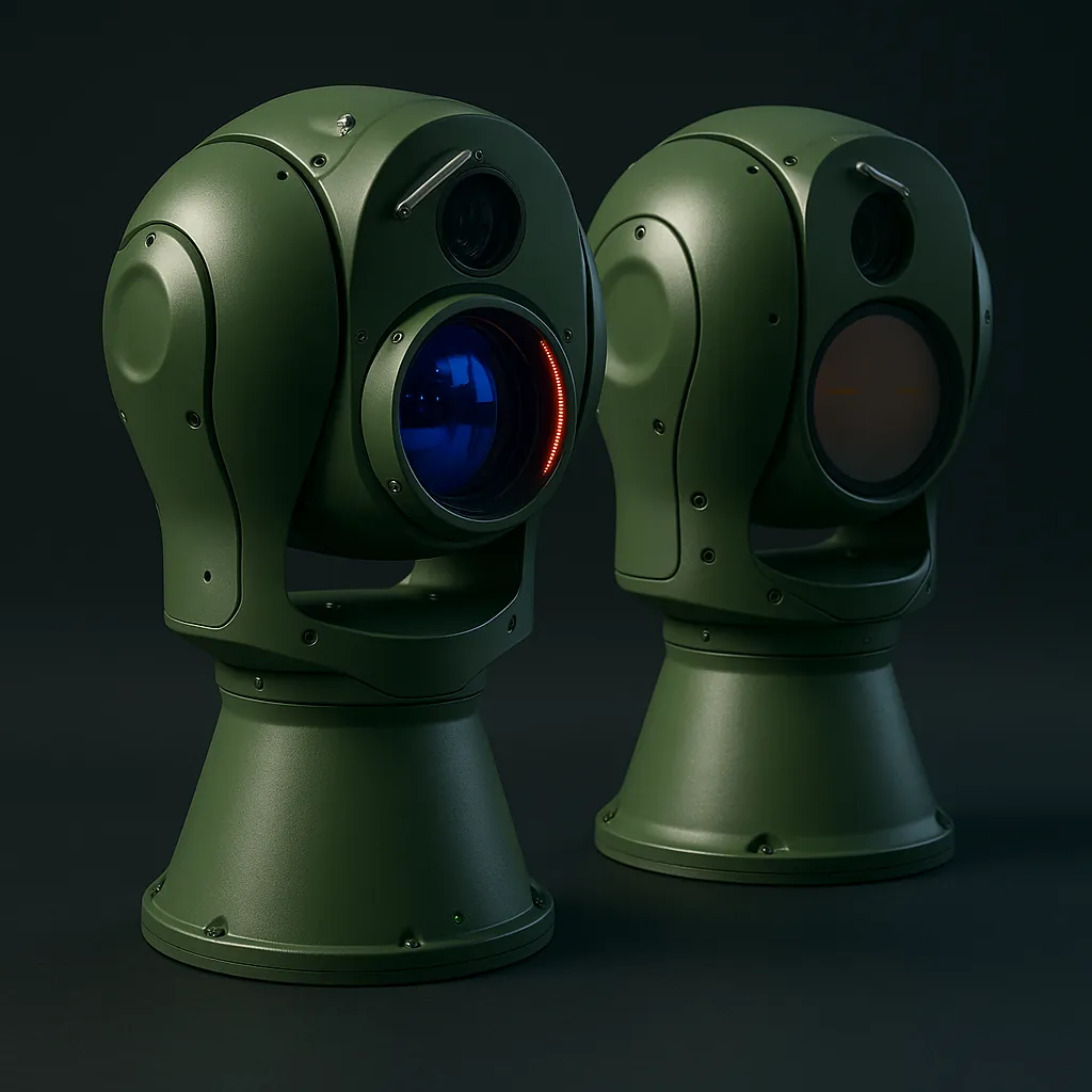
VIEWNEX Thermal Suite is a 6‑layer modular architecture that fuses long‑range dual‑sensor cameras with offline terrain maps, AI detection and encrypted backhaul. One operator can monitor 40 km+ blind‑spot border or pipeline with auto alerts and zero night patrol risk.
10 / 20 / 40 km EO‑Thermal units on rugged PTZ towers.
Offline maps + risk‑buffer‑safe colour overlays with live Lat/Long.
Classifies human / vehicle / vessel, removes foliage noise.
Multi‑cam live feed, map, checklist & multi‑tier users.
Fibre / Ethernet or AES‑encrypted PTP wireless for off‑grid.
Auto‑indexed alerts & video, multi‑filter search & export.
35 km of power‑less, GSM‑black terrain secured with three cameras (10 km, 15 km, 40 km). AI auto alerts slashed night patrols and enabled solar‑only runtime.
| Method | Coverage | Initial Cost | 24/7 Ops | Auto Detect | Personnel Risk |
|---|---|---|---|---|---|
| Static Guard Posts | 1‑2 km | High | No | No | High |
| Intermittent Drone Patrols | 10 km | Very High | Limited | Partial | Moderate |
| VIEWNEX Thermal | 35 + km | Moderate | Yes | Full | None |
Early‑warning cross‑border infiltration.
Prevent sabotage over hundreds km.
Safeguard cargo & passenger traffic.
Passive wide‑area overwatch with zero RF emission.
Blind‑spot coverage in harsh weather.
Airports, grid stations, command centres.
Uncooled Dual-Sensor Thermal & Visible PTZ · Short-Range Border/Perimeter Guardian
View specs
Mid-Range Uncooled Thermal & Visible PTZ · 14 km Vessel Detection
View specs
Long‑Range Cooled MCT Thermal & Visible PTZ · 40 km Maritime Detection
View specs